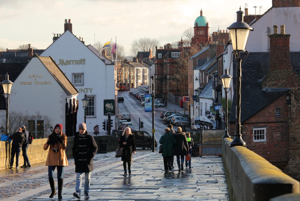
Policy H3: The Character Areas
To protect and enhance the Character Areas, development proposals will only be permitted if they fulfil the following requirements, where applicable:
- use materials which reflect the architectural period of the specific character area and individual localities within it; and
- sensitively restore architectural features on listed buildings and on non-designated heritage assets, appropriate to the specific character area and individual localities within it; and
- propose re-use or change of use which preserves the distinctive features of the building and is appropriate to the specific character area and individual localities within it; and
- retain and improve distinctive shop fronts and signage, appropriate to the specific character area and individual localities within it.
Applicants need to convincingly demonstrate their understanding of the specific Character Area, and individual localities within it, and how it has influenced their design.
Justification
4.52 A review of the Durham City Conservation Area was undertaken in 2015 and a character appraisal document was produced and formally approved on 29th July 2016 (Durham County Council, 2016e). The Conservation Area is divided into five Character Areas, each with their own character appraisal, based on the Peninsula and the four adjacent historical Boroughs which have changed little: Framwellgate, Crossgate, Elvet and Gilesgate. (See Map 5). Detailed surveys of the character areas indicate that they make a significant contribution to the Conservation Area and support the Peninsula area while having their own diverse and significant individual identities. It is essential that planning decisions support and enhance the character areas while recognising their individual contribution to the Conservation Area. These character areas comprise:
- The Peninsula lies within the natural defence afforded by the River Wear. It has evolved from a fortified citadel with Cathedral and Castle, dominating the Market Place and town at the lower northern end, to a romantic landscape with ornamental gardens. The medieval street layout with key pilgrimage routes has remained largely unaltered.
- Framwellgate which lies to the North and North-West of the City is of historical importance and developed from The Bishop’s Borough. It includes the medieval church of St Margaret’s and the left bank of the River Wear where stood the Bishop’s Mill. From this area there was access to the city by the Clayport Gate.
- Crossgate is the main route to the City from the West. The present residential areas are the result of development in the nineteenth century with robust terraces of well-built brick houses. This area also contains the prized green areas of Flass Vale and Observatory Hill.
- Elvet lies to the South of the City and along the left bank of the River Wear. It contains part of the river’s flood plain and provides an important transition between open countryside and the urban environment. The area has the impressive backdrop of the Cathedral and Castle with many outstanding views.
- Gilesgate forms the North-Eastern boundary of the Conservation Area and is situated on the right bank of the River Wear before it enters the gorge which surrounds the peninsula. The street plans have been altered to accommodate the A690 but there are many localities which keep their earlier appearance.
4.53 A more detailed description of these character areas is given in Appendix B.
Next section: Policy H4: Our Neighbourhood Outside the Conservation Areas


5 Responses to Policy H3 2017